Pick the area you care about and jump straight to the details.
Message from the CEO
MDP Aerial was founded on the belief that modern technology delivers the most value when it helps solve concrete problems.
We use drones for inspections, documentation and measurements wherever they allow work to be done faster, more safely and more accurately. Our aim is not only to fly well, but above all to deliver information a client can genuinely use in their work and decisions.
We are building MDP Aerial step by step, focused on reliability, thorough preparation and transparent results. Every project is treated individually and with full responsibility for the final outcome.
You don't need another hundred photos. You need answers.
Ordinary photographic documentation shows the site. A professional inspection report lets you pinpoint specific locations, assess their significance, plan further diagnostics and set the order of action.
Ordinary drone footage
Inspection report
A folder of unlabelled photos
Structured material linked to the site
Difficult to spot issues
Defects marked directly on the photos
No precise location
Location plotted on a site map
No prioritisation
Classification by significance and urgency
One-off material
Ability to compare successive inspections
Client interprets the photos alone
Findings described, structured and quality-checked
A drone inspection that ends in a decision, not a folder of photos.
Applications
Main applications
We work with property managers, facility and asset managers, warehouse owners, developers, general contractors and industry.
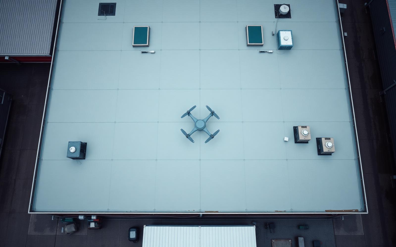
Large-format roofs
Warehouses, logistics parks, shopping centres, production plants and commercial buildings. The scope can cover visible damage to the covering, seams, flashings, parapets, skylights, smoke vents, drains, overflows, standing water, corrosion and plant items.
Façades and hard-to-reach elements
Documenting cracks, spalling, corrosion, flashings, fixings and other visible defects. In many cases, the first stage of the inspection can be carried out without scaffolding or a cherry picker and without significantly disrupting the site's operation.
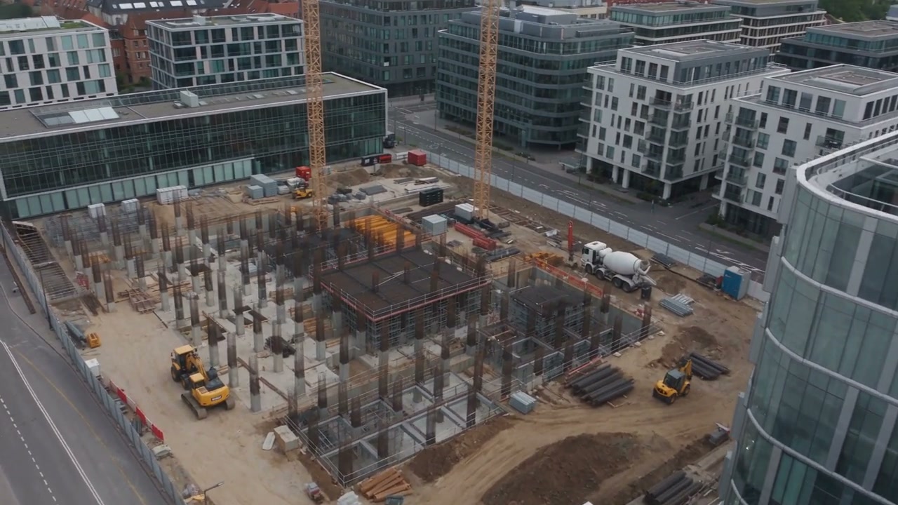
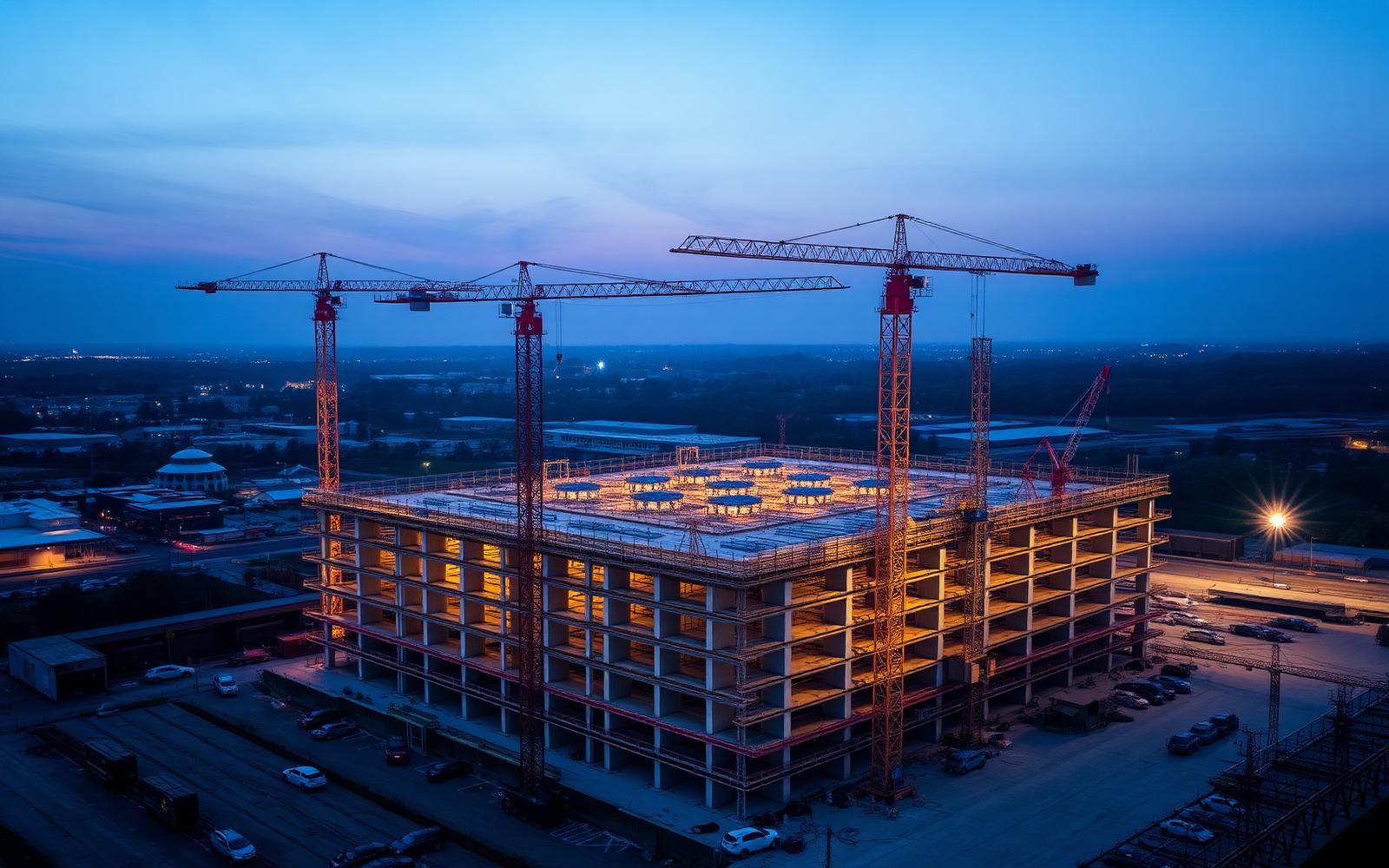
Construction progress documentation
Repeatable shots, comparisons between successive stages, documentation of works and material for the investor, contractor and site inspector.
Mapping, orthophoto maps and 3D models
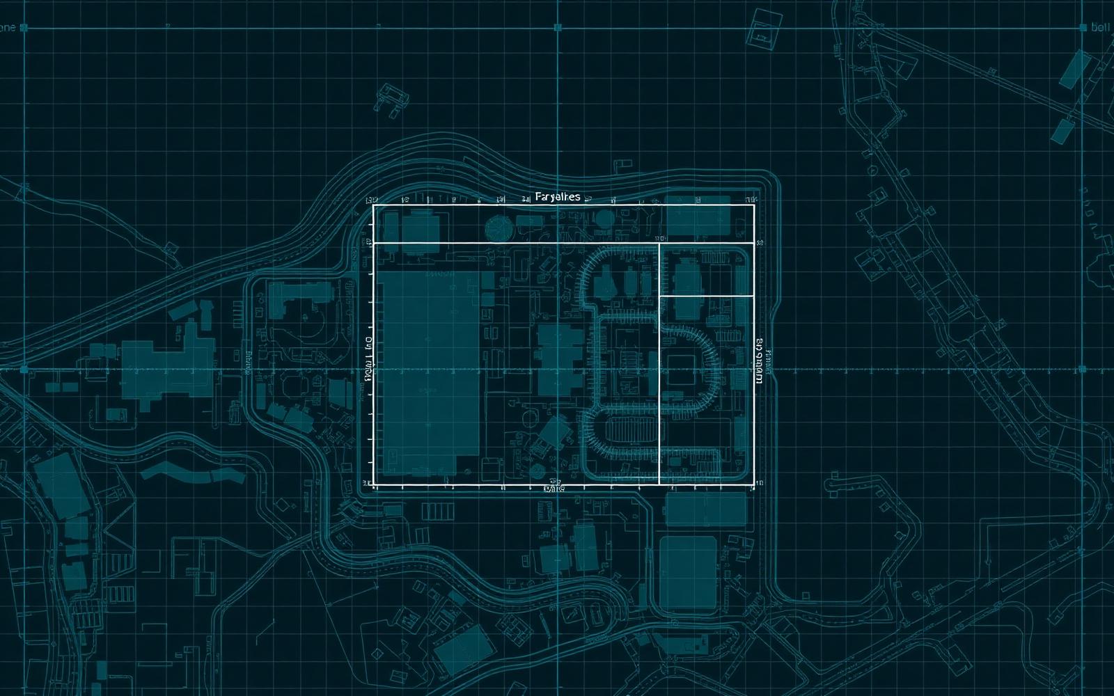
Documentation of terrain and buildings, measurements, spatial models and a structured record of existing conditions. The accuracy of the output depends on the agreed scope, control points and surveyor involvement.
Photovoltaic installations
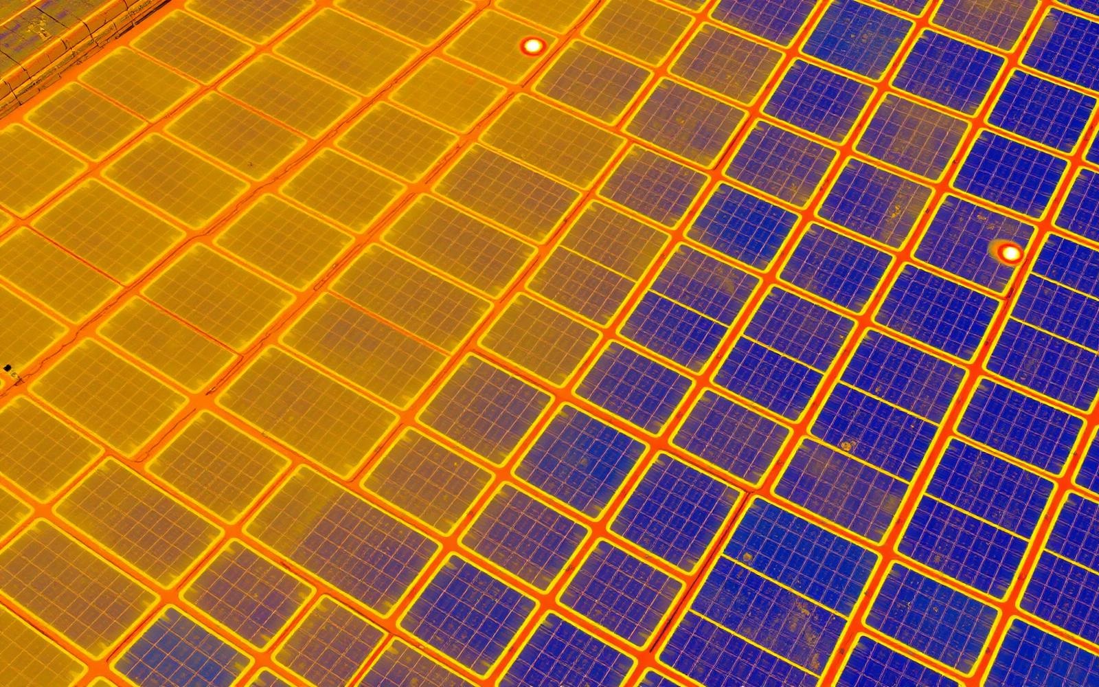
Visual inspection of panels, structure and visible damage. Thermal imaging is a separate service — it requires a radiometric camera, suitable measurement conditions and an agreed methodology.
Post-incident inspections
Documenting visible damage after storms, hail, heavy rainfall, failures or refurbishment works.
Smaller jobs
From a family home to an industrial site
We also take on smaller, one-off jobs for homeowners, plot owners and people buying or selling a property. We can inspect hard-to-reach roof areas, prepare current documentation of a building or plot, and record the progress of a home build or renovation.
We tailor the scope to the property, not its size.
Home and roof
Images of roof surfaces, flashings, gutters, chimneys and areas that cannot be seen from the ground — before renovation or purchase, or after weather damage.
Plot or property
Current images and organised documentation for the owner, buyer, seller or insurer.
Construction and renovation
Documentation of the initial condition, work in progress and the completed result from a clear perspective.
Every finding is linked to a specific location, documented with a photo, described and classified. Click on a screen to see the details of a sample report structure.
We tailor the scope to how the report will be used: for documentation, for planning repairs, or for an in-depth technical assessment.
Technical documentation
For clients who need a complete, structured picture of the site's condition.
systematic survey flight
general and detailed photos
geolocated material
structured documentation
summary report
Most popular
Analytical report with quality control
For property managers planning repairs, reviews or maintenance budgets.
AI-assisted analysis
findings verified by a human
defect map
annotations and classification
priorities for further action
PDF report and online results
AI supports detecting, structuring and classifying potential defects. Every finding delivered to the client is verified by a human.
Report with engineering verification
For commercial and industrial sites and situations requiring an in-depth assessment.
the full scope of the analytical report
optional assessment agreed with an engineer or industry specialist
recommendations for further diagnostics or repairs
option to arrange a site visit and additional testing
The precise scope and formal status of the work are agreed with you before it begins.
Example quotes
What does an inspection like this cost?
We do not sell flight hours. You buy a complete result: planning, a safe flight, imagery, analysis and a report. The figures below show the indicative scale of typical projects.
Typical job
House roof · approx. 300 m²
RGB inspection + report
approx. PLN 990 net
flight over the entire roof
overview shots and close-ups
marking of areas needing attention
PDF report
Warehouse roof · approx. 5,000 m²
RGB + orthophoto + report
approx. PLN 2,500 net
systematic flight pattern
orthophoto map
location of each observation
technical report
Wind turbine · 1 unit
RGB inspection + report
approx. PLN 2,490 net / unit
blades, hub, nacelle and tower
close-ups of defects
structured observations
photographic report
PV farm · approx. 1 MWp
RGB + thermal + report
approx. PLN 3,200 net
map of the installation
thermogram plus RGB image
location of anomalies
summary and report
What affects the final quote?
size and number of objects
type of sensor
complexity and risk of the operation
travel and mobilisation
scope of analysis and reporting
one-off or recurring
These are example, non-binding quotes. The final price depends on location, operating conditions, the equipment required and the scope of the report. Thermal imaging, a specialist drone, additional crew, accommodation or longer travel may be quoted separately.
We review the site, the expected outcome and how the report will be used.
02
We plan the operation
We prepare the flight route, shot coverage, safety procedures and regulatory requirements.
03
We collect the data
We carry out systematic general and detailed photography.
04
We analyse and verify
We structure the material in Scopito, using AI-assisted analysis and human verification.
05
We deliver the report
The client receives a findings map, photos, priorities, a report and the chance to discuss the results.
Scope agreed before the mission
Equipment matched to the task
Structured, geolocated data
Quality control of the material
Report matched to the objective
Engineering variant available
Technology matched to the objective
Equipment always matched to the task
We don't limit the service to a single drone model. We select the flying platform, camera, data-capture method and analysis approach to suit the type of site, the required accuracy and the decision the client needs to make based on the material.
High-resolution cameras for visual inspections
Zoom cameras for hard-to-reach elements
RTK systems and control points where accuracy requirements demand it
Thermal cameras and specialist equipment selected for the specific task
The precise equipment configuration and methodology are determined after reviewing the site and the objective.
Data analysis and verification
We use the specialist Scopito inspection platform to structure material, locate findings, analyse images and prepare reports. AI supports the detection and classification of potential defects, and every finding delivered to the client is verified by a human.
repeatable missions and geotagged photos
material linked to a specific site and location
classification of findings and priorities for action
optional verification by an engineer or industry specialist
Pilot project
Start with one roof
You don't need to cover an entire logistics park or property portfolio straight away. Choose one representative site. We'll agree the scope, carry out the survey flight and deliver a full pilot report. Once you've assessed how useful it is, you can extend the service to further buildings.
Assess usefulness before deciding on wider cooperation
Option to extend to further buildings and the whole portfolio
Construction progress monitoring
Repeatable project documentation instead of one-off photos
Survey flights from the same points at a set frequency give a comparable picture of progress. The material serves the investor, general contractor and site inspector as an objective record of conditions on a given day.
01
Baseline survey
Documentation of the site before works begin — a reference point for the whole project.
02
Project stages
Survey flights at a set frequency: weekly, monthly, or on reaching a milestone.
03
Critical moments
Additional missions for handovers, works about to be covered up, and site incidents.
04
Project closeout
As-built documentation and material summarising the whole timeline.
Documentation of terrain and buildings, measurements and a structured record of existing conditions. The required level of accuracy, control points and any surveyor involvement are agreed before the work begins.
Photogrammetry
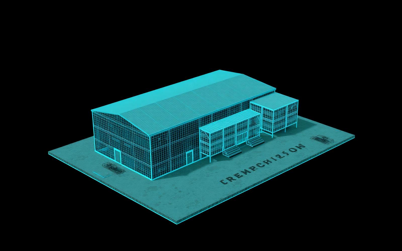
A survey flight converted into a point cloud and terrain model — the basis for further outputs.
We publish case studies only with the client's consent — following the same format: the task, how the mission was carried out and the result the client received.
Demonstration scenario
Warehouse roof
Task
The manager needs a structured picture of the roof condition before the rainy season.
Method
Repeatable flight, general and detailed photos, findings located on a roof map.
Result
A report with a list of findings and priorities for further technical assessment.
Demonstration scenario
Construction progress monitoring
Task
The investor needs an objective record of site progress month by month.
Method
Flights from the same points at an agreed cadence and comparable shot sets.
Result
A project timeline and material for settlements with the contractor.
Demonstration scenario
Site orthophoto
Task
An up-to-date view of the site is needed for development planning.
Method
Survey flight with an agreed accuracy level and ground control points.
Result
An orthophoto and terrain model ready for CAD or GIS.
The scenarios below are demonstrations showing a typical scope of work. They do not represent specific clients or completed assignments.
MDP Aerial is developed under the umbrella of MDP Consultants PSA, a company running technical and industrial projects. That's why we don't start by asking how many photos to take. We first establish what decision needs to be made once the data is in hand, and only then select the mission scope, equipment, analysis method and report format.
Aerial observations. Ground-level decisions.
Objective before flight
We agree the scope and intended use of the report before the mission.
Repeatable missions
The same flight plan allows successive inspections to be compared.
Analysis and quality control
AI support within the Scopito platform, verified by a human.
Engineering variant
Optional assessment agreed with an engineer or industry specialist.
FAQ
Frequently asked questions
Does AI assess the condition of the building on its own?+
No. AI helps detect and structure potential defects. The results are verified by a human, and in the selected variant, also by an engineer or industry specialist.
Does the report replace a building's mandatory statutory inspection?+
A standard inspection report supports technical management, repair planning and condition documentation, but on its own it does not replace an inspection required by law or a structural expert opinion. If the client needs a formal assessment, the scope must include a person holding the relevant qualifications.
Will the inspection detect a leak beneath the roof layers?+
An RGB inspection documents visible damage and areas of potential risk. Hidden defects may require thermal imaging, moisture measurements, exploratory openings or a close-up inspection.
Can successive inspections be compared?+
Yes. Repeatable missions and a structured site history make it possible to track changes, verify repairs and monitor the progression of previously identified issues.
Can the site continue operating normally during the inspection?+
In most cases, yes, but the operation is always agreed with the property manager and adapted to traffic flow, people, vehicles and the site's safety procedures.
What determines the price?+
The area and number of buildings, the roof structure, the number of elements requiring detailed shots, operational constraints and the chosen level of analysis.
Quote
Submit your site for an initial assessment
An address or map link is all we need. We'll carry out an initial review of the site and propose an appropriate scope of work. We don't publish a fixed price list — the cost depends on the area, number of buildings, roof complexity, required number of photos and level of analysis.