Roof and facade inspection
A complete view of roof surfaces, flashings, gutters and hard-to-see facade areas — before repairs, after a storm or before purchase.
Learn more →MDP Aerial
Technical inspections, construction monitoring and spatial data. Scope of work and indicative prices — Warsaw, Mazovia and across Poland.
Scope of services
Each area has its own page covering the scope of work, the material delivered and typical applications.
A complete view of roof surfaces, flashings, gutters and hard-to-see facade areas — before repairs, after a storm or before purchase.
Learn more →Inspect places that are difficult, costly or risky to access from the ground — without a lifting platform or stopping the facility’s work.
Learn more →Regular flights from the same viewpoints. Comparable progress documentation for investors, contractors and technical teams.
Learn more →An up-to-date, measurable aerial view — more detailed and recent than publicly available satellite maps.
Learn more →Survey flights turning photographs into spatial data: point clouds, terrain models and reference data for further calculations.
Learn more →Three-dimensional documentation for inventories, design and project presentations.
Learn more →Thermal surveys of PV installations, roofs and technical facilities. Data capture and interpretation are agreed before the mission.
Learn more →Locate thermal anomalies and plan further checks — for home installations, commercial roofs and solar farms.
Learn more →We provide promotional imagery as a complement to technical assignments.
Aerial visual material for properties, facilities and developments — produced with the same discipline as technical assignments.
Learn more →Smaller jobs
We also take on smaller, one-off jobs for homeowners, plot owners and people buying or selling a property. We can inspect hard-to-reach roof areas, prepare current documentation of a building or plot, and record the progress of a home build or renovation.
We tailor the scope to the property, not its size.
Images of roof surfaces, flashings, gutters, chimneys and areas that cannot be seen from the ground — before renovation or purchase, or after weather damage.
Current images and organised documentation for the owner, buyer, seller or insurer.
Documentation of the initial condition, work in progress and the completed result from a clear perspective.
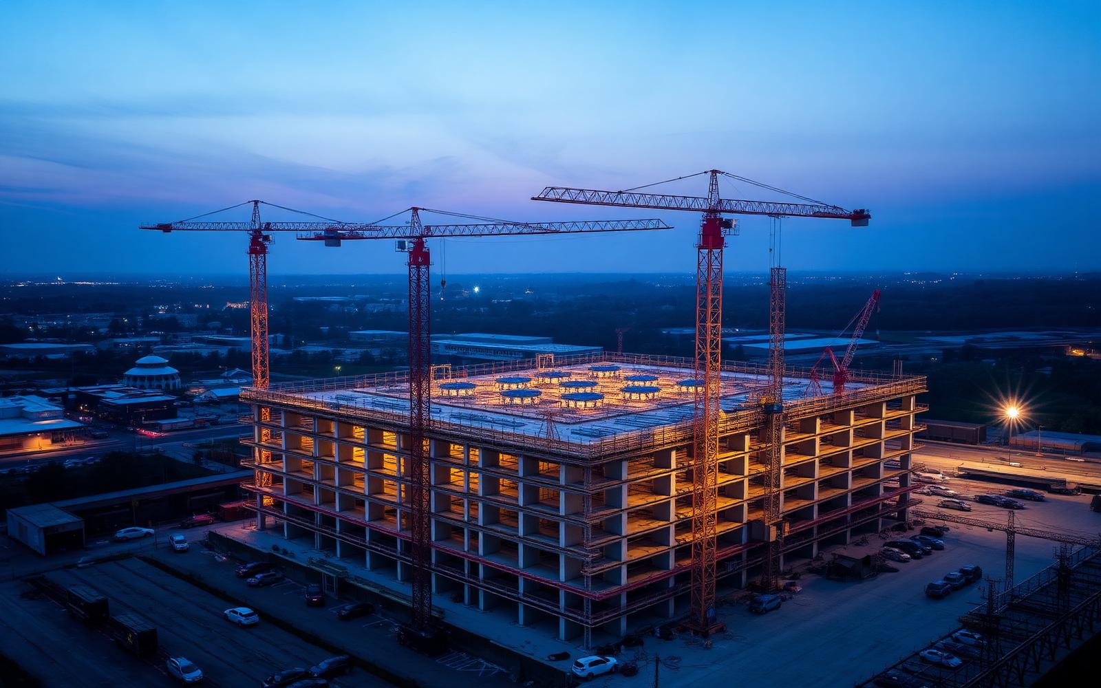
Construction progress monitoring
Survey flights from the same points at a set frequency give a comparable picture of progress. The material serves the investor, general contractor and site inspector as an objective record of conditions on a given day.
Documentation of the site before works begin — a reference point for the whole project.
Survey flights at a set frequency: weekly, monthly, or on reaching a milestone.
Additional missions for handovers, works about to be covered up, and site incidents.
As-built documentation and material summarising the whole timeline.
Mapping and spatial data
Documentation of terrain and buildings, measurements and a structured record of existing conditions. The required level of accuracy, control points and any surveyor involvement are agreed before the work begins.
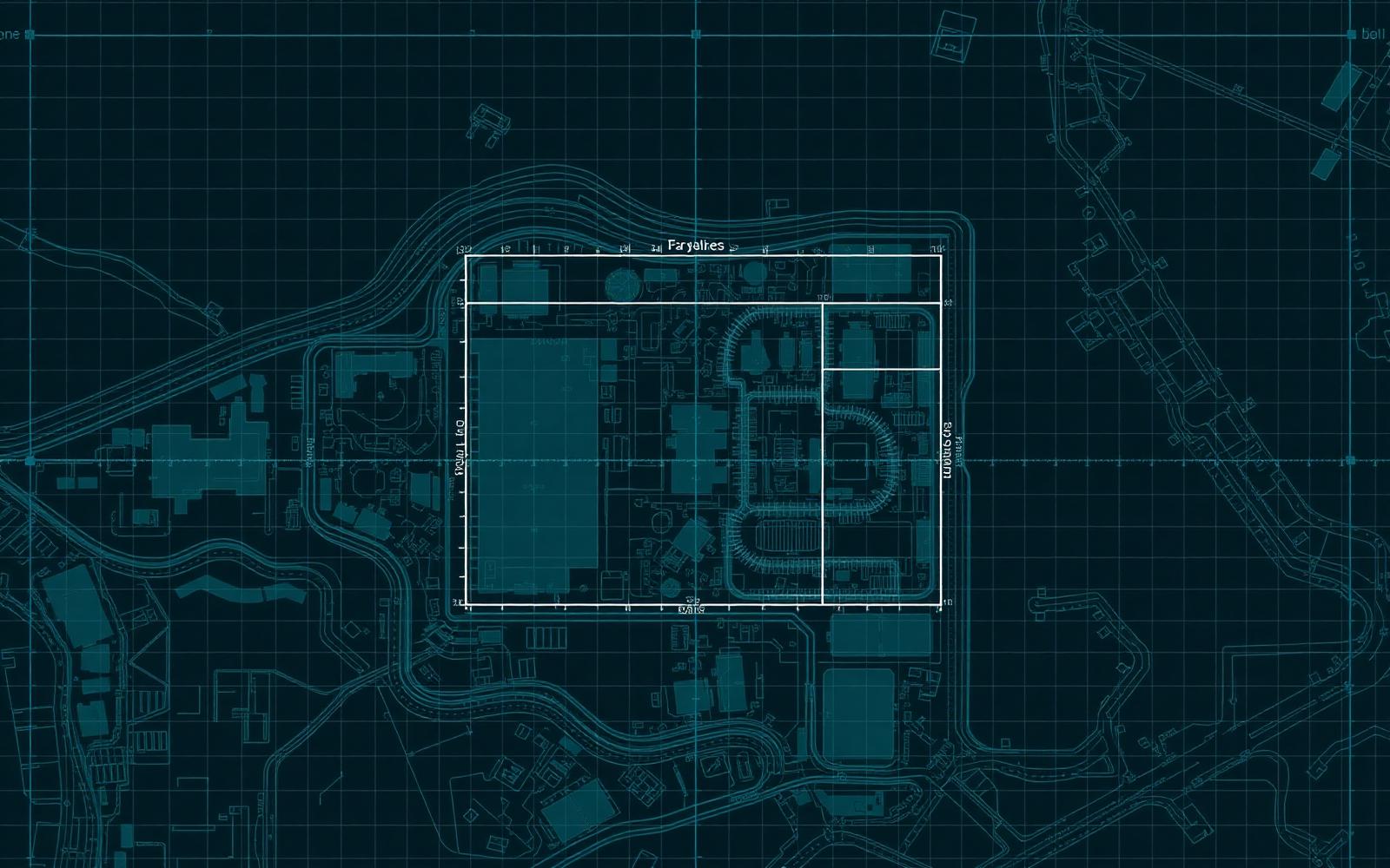
A survey flight converted into a point cloud and terrain model — the basis for further outputs.
Learn more →An up-to-date, high-resolution image of the terrain, ready for use in GIS or CAD.
Learn more →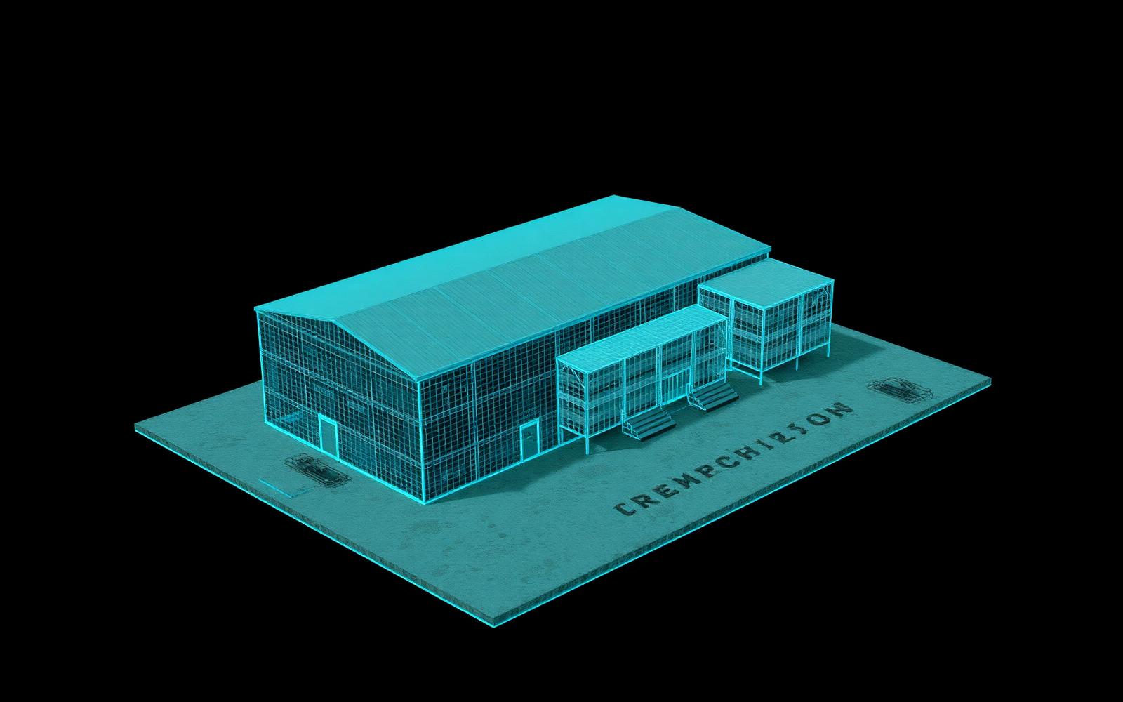
A textured model of a building or terrain for inventory, documentation and planning purposes.
Learn more →Example quotes
We do not sell flight hours. You buy a complete result: planning, a safe flight, imagery, analysis and a report. The figures below show the indicative scale of typical projects.
RGB inspection + report
approx. PLN 990 net
RGB + orthophoto + report
approx. PLN 2,500 net
RGB inspection + report
approx. PLN 2,490 net / unit
RGB + thermal + report
approx. PLN 3,200 net
These are example, non-binding quotes. The final price depends on location, operating conditions, the equipment required and the scope of the report. Thermal imaging, a specialist drone, additional crew, accommodation or longer travel may be quoted separately.
Pilot project
You don't need to cover an entire logistics park or property portfolio straight away. Choose one representative site. We'll agree the scope, carry out the survey flight and deliver a full pilot report. Once you've assessed how useful it is, you can extend the service to further buildings.
Quote
After receiving your details, we will contact you to confirm the objective, scope and possible date.
Send site location